 English
 Español
 عربى
عربى
Field Guide — Drainage Engineering
The Ground Speaks First.
Listen Before You Excavate.
Before a single precast resin channel is lowered into a trench, the site itself must be interrogated — its levels, its soil, its buried services, its water. What follows is a working guide to the five surveys no installation should skip.
Direct Answer: Five Surveys You Must Complete First
Before installing a resin linear drainage channel, five surveys are non-negotiable: a topographic and levels survey, a geotechnical soil investigation, a utility and underground services scan, a hydraulic capacity assessment of the receiving drainage network, and a traffic or loading assessment of the surface area. Skipping any one of these increases the risk of standing water, joint failure, or structural collapse of the channel run within the first two years of service.
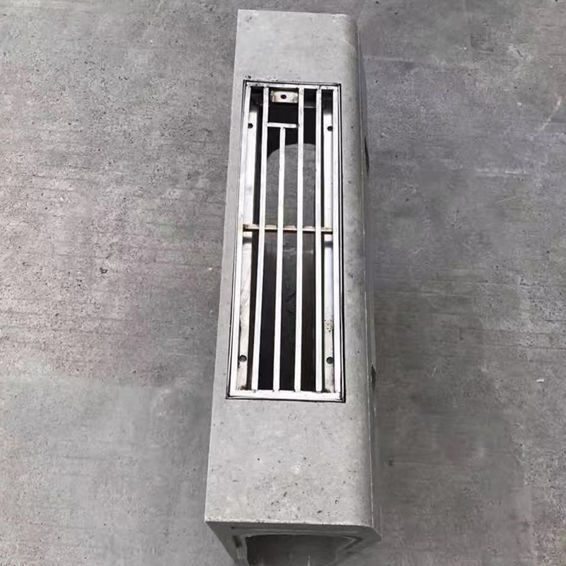
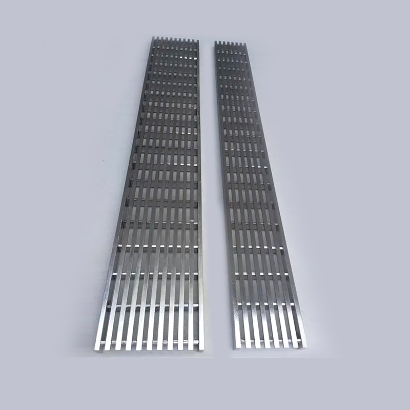
Contractors who complete all five surveys report a significantly lower callback rate for drainage complaints compared with projects that proceed directly from a site walk to excavation. The remainder of this article breaks down each survey type and shows how results directly shape channel selection, gradient, and installation depth — including for projects using grated channel drains in vehicular or pedestrian zones.
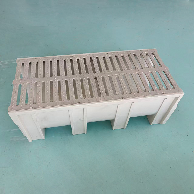
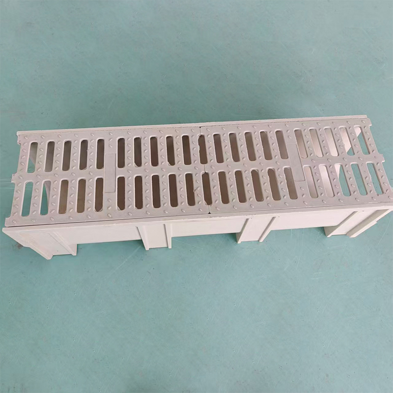
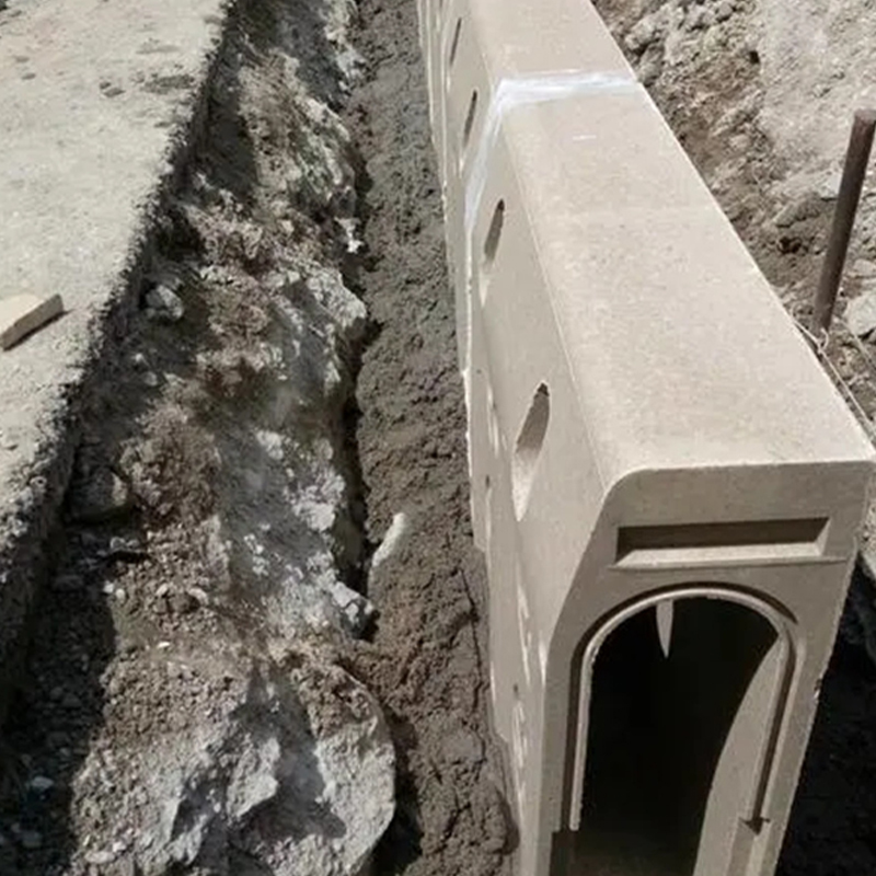
resin channel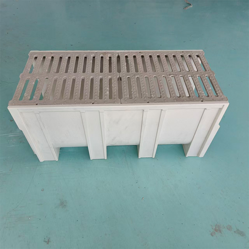
Why Pre-Installation Surveys Matter
A precast resin channel is a rigid, factory-formed product. Unlike poured-in-place concrete drainage, it cannot be adjusted for unexpected ground conditions once the run has been cut and jointed. Any error in slope, soil bearing capacity, or utility clearance discovered mid-installation typically forces the crew to lift and re-lay sections, adding cost and delaying the project by days rather than hours.
Ground investigation data is the single largest predictor of long-term channel performance — more influential than the brand or material of the channel itself.
Surveys also determine which load class and channel width are appropriate. A car park entrance carrying delivery trucks needs a different specification than a pedestrian courtyard, and this decision cannot be made safely from visual inspection alone.
Topographic and Levels Survey
A topographic survey establishes existing ground levels across the installation area, typically recorded on a grid at 3 to 5 meter intervals for small commercial sites and tighter for complex courtyards or ramps. This data is used to calculate the fall required to move water toward the outlet, rather than relying on the channel's internal pre-formed slope alone.
What the Survey Should Capture
- Finished floor levels of adjacent buildings, doorways, and thresholds
- High and low points across the paved or hardstanding area
- Location and invert level of the proposed or existing outfall
- Cross-falls on adjacent pavement directing surface water toward the channel
For most self-leveling resin channel systems, a minimum overall fall of 1:200 to 1:100 along the run is recommended even though the channel body itself often has a built-in internal gradient. Without accurate levels data, installers risk creating a "flat spot" where two channel runs meet — one of the most common causes of standing water complaints after installation.
Geotechnical and Soil Investigation
Soil bearing capacity determines whether the channel needs a plain sand bedding, a lean-mix concrete cradle, or full concrete haunching on both sides. A geotechnical survey, even a basic trial pit investigation, should be carried out at several points along the proposed channel line — especially where the run crosses from natural ground into previously disturbed or filled soil.
Key Data Points to Record
| Ground Condition | Typical Bearing Capacity | Recommended Bedding |
|---|---|---|
| Dense natural gravel or sand | Above 150 kPa | Compacted granular bed, 100mm |
| Firm clay or loam | 75–150 kPa | Lean-mix concrete bed, 100–150mm |
| Made ground or fill | Below 75 kPa | Full concrete haunching both sides |
Utility and Underground Service Mapping
A utility scan using ground-penetrating radar or cable avoidance tools should be completed before any trenching starts. This identifies electrical cabling, gas lines, telecoms ducting, and existing stormwater or foul pipework that may cross the proposed channel alignment.
Where a service crosses the trench line, the channel route may need to be adjusted, or the crossing service sleeved and protected in accordance with local utility clearance rules — commonly a minimum vertical clearance of 300mm between the channel base and any buried cable or pipe.
Hydraulic Capacity and Outfall Survey
The channel is only as effective as the system it discharges into. A hydraulic survey calculates the anticipated rainfall intensity for the site's location, the catchment area draining toward the channel, and the flow capacity of the receiving pipe, soakaway, or watercourse.
Calculating Catchment Flow
Designers typically use a rainfall intensity of a 1-in-10-year storm event as a baseline design standard for commercial hardstanding, then multiply by the total catchment area — including any adjoining roof or paved surfaces that discharge toward the channel line. This figure is compared against the published hydraulic capacity of the selected channel width and grate open area to confirm the system will not surcharge during heavy rain.
If the survey shows the existing outfall pipe is undersized, this must be resolved before installation, since a resin channel — however well installed — cannot outperform a restricted downstream connection.
Traffic Loading and Surface Use Assessment
The intended use of the surface determines the load class of both the channel body and the grate. A pedestrian plaza has very different requirements from a loading bay used by heavy goods vehicles, and this assessment should be documented as part of the pre-installation survey rather than assumed from the general site type.
- Pedestrian and light foot traffic areas — Class A15 or B125 rated grated channel drains
- Car parks and light vehicle access — Class C250
- Loading docks, HGV routes, and industrial yards — Class D400 or higher
Surveyors should also note whether vehicles will cross the channel at an angle or brake heavily near the run, since repeated dynamic loading at these points can accelerate wear on the grate locking mechanism even within the correct load class.
Access, Logistics, and Environmental Checks
A practical site survey should also confirm that delivery vehicles and lifting equipment can reach the installation area, particularly for longer precast sections that may require a small excavator or gantry for placement. Overhead obstructions, narrow gate widths, and restricted working hours near residential buildings should all be documented in advance.
Environmental and Regulatory Considerations
Pre-Installation Survey Checklist
The following checklist summarizes the minimum information a design or installation team should have on file before ordering channel sections and mobilizing on site.
- Topographic survey with confirmed fall and outfall invert level
- Trial pit or borehole data confirming soil type and bearing capacity
- Groundwater level check at proposed invert depth
- Utility scan report with marked-up clearances
- Hydraulic calculation confirming catchment flow against channel and outfall capacity
- Confirmed traffic load class for the finished surface
- Site access and delivery logistics plan
- Any required environmental or discharge permissions
In Summary
Every successful resin channel installation begins long before the first section arrives on site. Levels define the fall, soil defines the bedding, buried services define the trench line, hydraulics define the outfall, and traffic defines the load class. Treat the ground survey not as paperwork, but as the design brief the channel will ultimately have to answer to — for years, under every storm that follows.